
Practical teaching ideas
A 40-minute middle-school lesson with museum-based evidence cards, causal chains, a model answer, and an exit ticket on Nile geography and human choices.
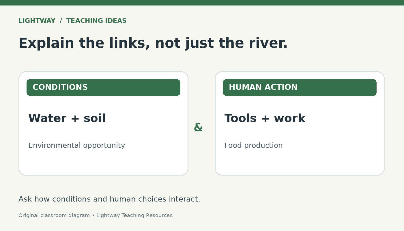
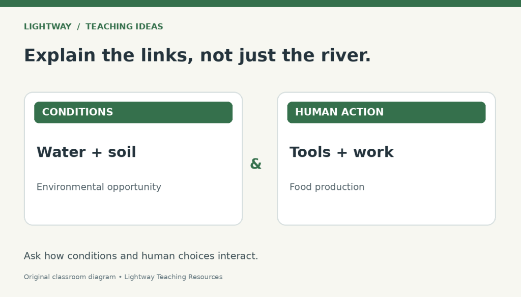
“The Nile made Egyptian civilization possible” is a useful opening claim, but students need practice explaining the connections hidden inside it. How could a flood help produce food? What work did people contribute? What additional evidence would explain the development of political power?
This middle-school lesson turns those questions into a short evidence investigation. Students build a causal chain, test one link, and write a qualified explanation. The goal is to explain how environmental conditions and human actions interacted, while recognizing that a river alone cannot explain every historical outcome.
Prepare a small evidence set
Time: 40 minutes. Grouping: pairs, then individual writing. Materials: paper, pencils, the five cards below, and a simple Nile map from your class atlas. Projecting the cards works if printing is inconvenient.
Students should already be able to locate Egypt in northeastern Africa. Define three terms before reading: silt is fine sediment carried by water; surplus is production beyond immediate needs; inference is an explanation drawn from evidence.
Use this success criterion: “I can explain a connection between the Nile and food production, name a human action, and identify a limit to my explanation.”
Five evidence cards to copy
These are classroom paraphrases of museum information, not ancient quotations. Keep each source link with its card.
A. Floodwater and soil
In ancient Egypt, summer Nile floods deposited silt on agricultural land. Floodwaters also helped remove salts from the soil. These processes could improve conditions for growing crops. Smithsonian National Museum of Natural History
B. A tool with a human maker
A flint sickle insert from Egypt, dated about 4500–4000 BCE, belonged to a harvesting tool. People shaped pieces of flint, fixed them into wooden handles, and sharpened or replaced worn pieces. The Metropolitan Museum of Art
C. Keeping food usable
At Amara West, a later ancient town in Nubia, houses contained clay containers for cereals and other foods. Raising containers on stones helped protect stored grain from pests. Nubia lay south of Egypt along the Nile. British Museum farming guide
D. Political arrangements changed
Egyptian history included periods of centralized power and periods of division. During the First Intermediate Period, approximately 2150–2030 BCE in the Met's chronology, two competing dynasties ruled from different centers. The Metropolitan Museum of Art chronology
E. A changing river landscape
Around 1200 BCE, water stopped flowing through one river channel at Amara West. Agriculture there became more difficult. This local example is much later than Egypt's early farming communities. British Museum farming guide
Teacher note: the cards span different places and centuries. Use them to compare processes and test explanations, not to describe one village at one moment. Card C does not prove that early Egyptian households used identical storage arrangements.
Minutes 0–4 Locate and question
On the map, identify the Nile Valley and Delta. Ask students to place a finger where they would investigate farming first, then explain what information a map cannot provide.
Write: “A river guarantees a powerful kingdom.” Ask everyone to underline the word they would investigate. Collect two initial responses without announcing the answer. Save this sentence for revision.
Minutes 4–10 Read and separate evidence from inference
Pairs read cards A–D. Each student records one statement a card actually supports and one question it leaves unanswered.
Offer these prompts:
- What does the sickle tell us people had to make or do?
- Does a storage container tell us how much food everyone received?
- What evidence would connect food production with political authority?
Model the distinction: “This object was part of a harvesting tool” is supported by card B. “Every farmer had plenty to eat” goes beyond that evidence. Invite students to label their own notes E for evidence or I for inference.
Minutes 10–20 Build and explain a causal chain
Give pairs these four starting points: “floodwater and silt,” “crop growing,” “harvesting,” and “food available for later use.” They arrange them and draw connecting arrows.
Every arrow needs a short explanation. Under “harvesting,” for example, students might add: “People make and use tools to collect the crop.” Then they add one condition that could affect the result, such as access to tools or successful storage.
Ask: “Which link is supported directly? Which is a reasonable inference? Where do we need more evidence?” Students write card letters beside supported links and a question mark beside an untested extension.
If someone adds “therefore, a powerful king,” ask them to identify the missing steps. Keep that question visible rather than supplying a tidy automatic sequence.
Minutes 20–28 Test one link
Reveal card E. Explain that it offers a later comparison from Nubia, rather than an account of Egypt's beginnings.
Pairs circle the link most affected when access to a river channel changes. Ask: “What becomes harder? What response might people consider? What evidence would tell us whether they actually tried it?”
Students may suggest moving fields or finding another water source. Label these proposals as possibilities. The card establishes agricultural difficulty; it does not establish every household's response.
Have pairs revise one arrow using “could,” “depended on,” or “when.”
Minutes 28–35 Write a supported explanation
Students answer: “How did the Nile support food production, and why does that explanation need human actions and conditions?” Require two card references and one limitation.
Model answer:
“Nile floods could support crop growing by depositing silt on farmland (A). People also had to harvest crops, and the sickle insert shows evidence of toolmaking for that work (B). Food production therefore depended on environmental conditions and human activity. Card E shows that changing access to water could make agriculture harder in a later Nile community. These examples help explain farming, but they do not establish why particular rulers gained power.”
Ask partners to underline the mechanism and circle the qualification.
Minutes 35–40 Check understanding
Use this individual exit ticket:
- Revise “A river guarantees a powerful kingdom” into a defensible claim.
- Name one human action supported by a card.
- Identify one question these sources cannot answer.
Look for a conditional connection, specific evidence, and an honest limit. A student who merely replaces “guarantees” with “helps” still needs to explain how. Begin the next lesson with one anonymous example and improve its missing connection together.
Make the reasoning accessible
For developing readers, read the cards aloud and offer: “The Nile could help ___ because ___. People also needed to ___. This depended on ___.” Allow an oral explanation before writing.
For an extension, ask students to use card D to challenge a claim that the same river must produce the same political arrangement. They should identify what further political evidence they would need, rather than invent another single-cause explanation.
To extend the comparison to another river society, see Lightway’s ancient Mesopotamia unit. For related teaching materials, explore the Ancient Egypt Geography and the Nile River lesson bundle.
Quick check: Does a fertile river valley guarantee a centralized kingdom?
No. Environmental conditions can support food production, but people must carry out work and political arrangements require additional evidence.
Sources for teachers
- Smithsonian National Museum of Natural History
- The Metropolitan Museum of Art
- British Museum farming guide
- The Metropolitan Museum of Art chronology
The classroom sequence and diagrams are original teaching suggestions, not a tested intervention or a guarantee of learning outcomes.
